Ocean on the south and on the east, Karuah river estuary on the north. Two national parks share this long peninsula. Sandy dunes rising for more than twenty metres run across all the thirty western kilometres of this peninsula to become Worimi national park, and several mounts at the end of the land form Tomaree national park. All these landscape features are well seen on the map.

Tomaree is ~200 km away from Sydney to the north. The nearest city to the park is Newcastle, a relatively big town with huge ports. Therefore, it is relatively easy to get to Tomaree on public transport: a direct train runs from Sydney to Newcastle, and then there is a bus route getting you to the place. However, it takes almost 5 hours overall, and most of it takes to get through more than 120 bus stops!
This national park seems to be not very known. I learned about it occasionally from my facebook feed with posts from New South Wales National Park service. That was very lucky, because my mother was visiting me, and this place looked like a perfect location for a long weekend trip.
The bus terminates at Fingal Bay, a township just in the middle of the national park. Fingal is a name of a hero from epic poem from the second half of XVIII century, and can be translated as "a white stranger".

Bus route ends here

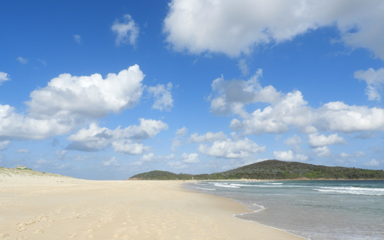
The street takes you directly to the Fingal bay itself. A perfect sand beach lasts for couple of kilometres, ending with a spit, a narrow sandy natural mound. Vegetation covers sand dunes and protects them from wind and storms.

quay with tables and water taps

a layer of black sand

View to Fingal bay township. There is a plenty of place to be rented on AirBnB, the option that we used.

The most picturesque thing to see in Tomaree is Fingal island. During low tide the water level drops enough to be able just to walk to it (look at the map!). Ah, yes, Google maps denote this island as "Shark island", but this is incorrect.
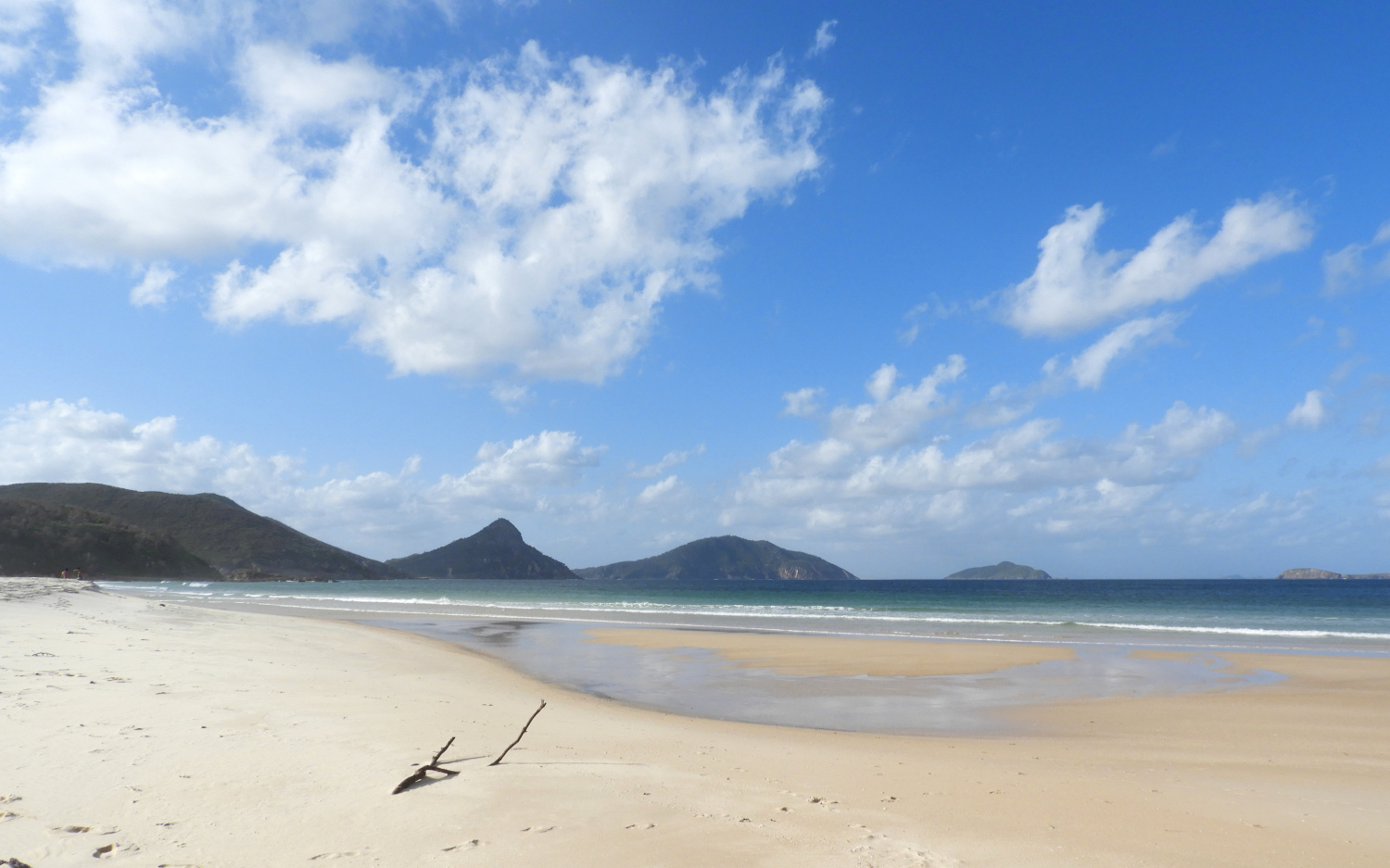
A view from the end of the spit to the north. Mount Tomaree is in the middle.

Way to the island
The island is more than one kilometre across, which is enough to keep the waves at all times. Even when there is no wind and waves, the water is waist-deep, and when two waves clash, you get fully wet and refreshed.
The authorities strongly recommend to avoid crossing the strait during high tide. There are 15 people perished during past 130 years. Since low tides happen twice a day, there are at least 2 or 3 hours for a safe return trip, which is just enough to see the island.

two dragons, one from the north and one from the south, clash
Now the width of the strait is 200 m. However, it is impossible to predict the depth and width in advance, because it continuously changes. A local in an interview from 2016 mentions, that before the recent storm he could get to the island on truck.


a flock of swift terns waited for me at the other end

they all take off when I come closer

a trails starts from the beach
The island is very close to the mainland, but even one kilometre is enough to produce an absolutely different local climate. Morning dew is very heavy here, and everything is in blossom.
Both on the north and south from the island there are important ports: Newcastle and Port Stephens. There were more than 20 ships crashed on reefs near Fingal island before a lighthouse was erected in 1862. The first lantern used kerosene, but its supply was not a problem: at that times a tombolo, a natural mound 180 metres wide and 4 metres high connected the island with the mainland. All this huge amount of land mass with bushes and vegetation was destructed by Maitland Gale storm during one night in 1891. Sometimes the mound appears again, sometimes it disappears, but it had never reached that size again.

old road to the lighthouse, still paved with stones
The kerosene lantern was replaced by electrical one in 1960 only. The submarine cable got damaged during storm in 1989, and a spare generator wasn't working properly. In the year 1991 they installed solar panels and set the lighthouse to fully automated mode.

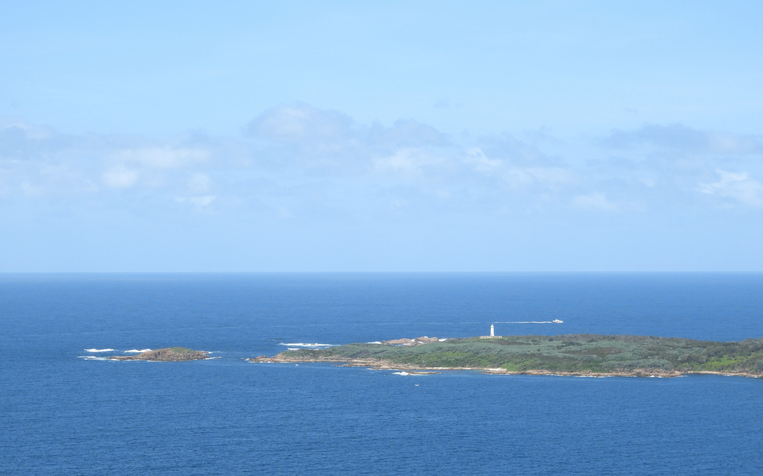
Port Stephens Lighthouse. They say the lighthouse opens for public during school holidays when the island is accessible by foot
A house for lighthouse keepers was located just nearby. The building consisted of three independent units sharing one roof. It's pity, but the cottage was vandalised and burnt almost immediately after the lighthouse was unmanned.


look at this weathering features

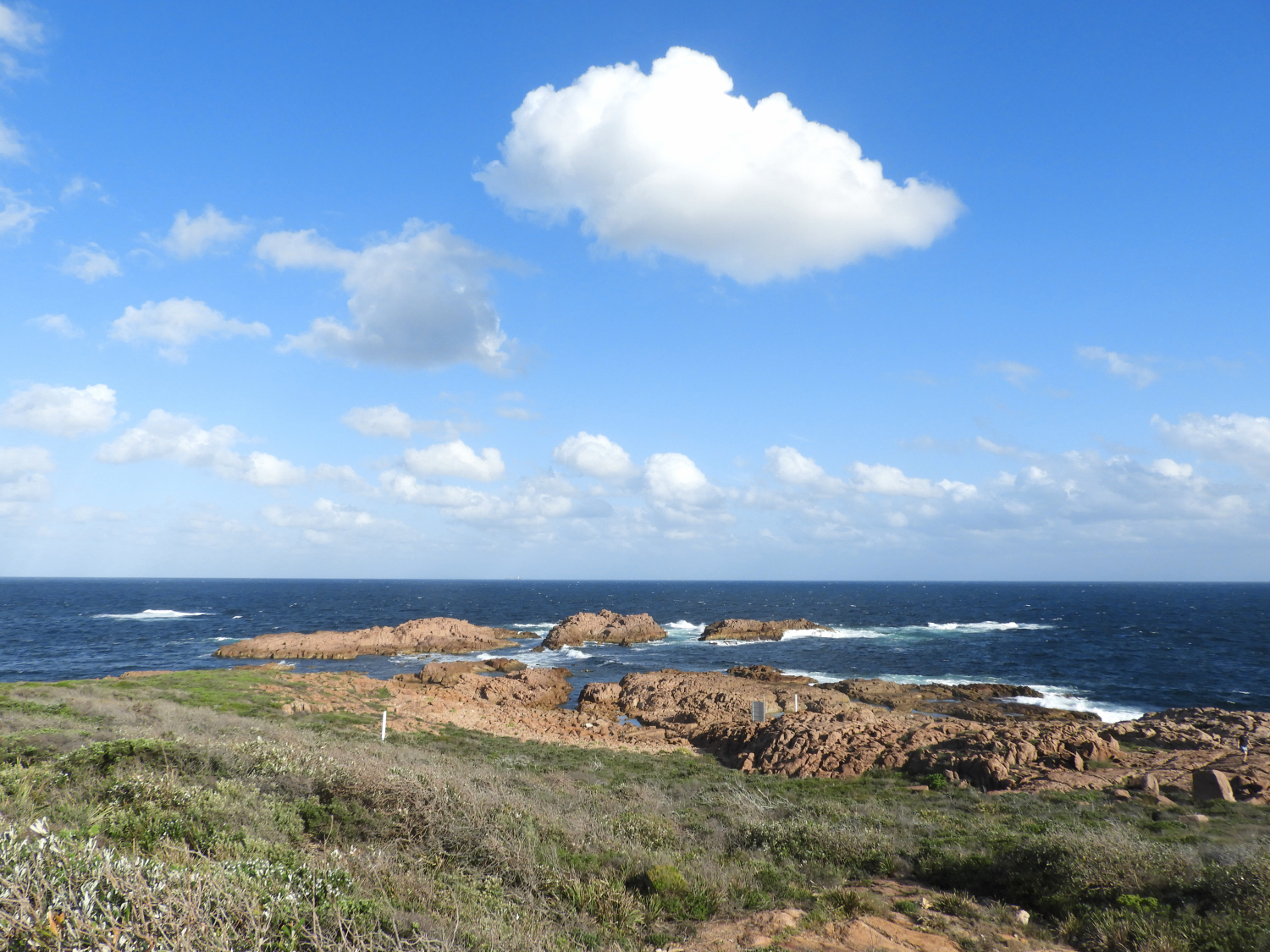
These are the dangerous reefs. Before obtaining its current name, Fingal, the name of this place was False bay, because it was often mistaken with the actual entrance to Port Stephens located slightly to the north.

Historical records say there were fireplaces of aboriginal people there, and also a stone-made weir to catch fish (is not preserved anymore).

There are no gum trees on the island, but one may find such unusual plants like figs, oleander, lemons and even pines. These were formerly grown by lighthouse keepers.


Oleander

Remnants of a telegraph line


The strait

small sand dunes

Fingal bay township in the evening

one may see the Fingal spit, while the island is behind the head
The head hides in its forest a nice place for bbq, including tables, tables with shelters, and a WC.


Australian magpies (which is not a relative of European magpie)


Pittosporum undulatum. This native Australian plant had not suffered since European's arrival. Actually, it became much more common, because it spreads easily over damaged and poor soils.
A swamp in dunes. Obviously, there should be a dip in bedrock to keep the water

A road continues along the beach and further to the next township
There was some sort of marathon on Saturday morning


Geomorphology, the landscape features, in Tomaree differ drastically from what one sees around Sydney (look here and here). Triassic sandstones in Sydney basin are brittle and fragile, therefore, they crush easily by waves and wind, and cliffs form. Tomaree mountains are made of ignimbrite, a sort of lava, from Carboniferous period, 354-290 Ma ago. These volcanic rocks are much harder than sedimentary sandstones, and they do not break down easily. So they form conic mounts with gentle slopes.
These ancient rocks got to the daylight surface ~2 Ma, when all the territory was uplifted by 300 m. More detailed information is available in literature on local geology.


compare these surfaces to what you've seen on the walls of the cottage. No honeycomb weathering, right?


one more native Australian from sand dunes, Scaevola calendulacea
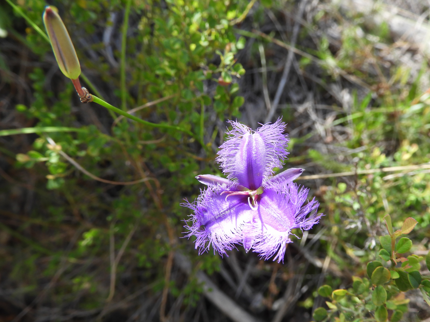
and one more, Thysanotus tuberosus

Several mountains stand along the coastline. There is a nice beach hidden in between each two of them.


a trail to Shoal bay township

Lace monitors wait for food at the place where fishermen process their catch and. There were three of them here, and was as big as 80 cm.


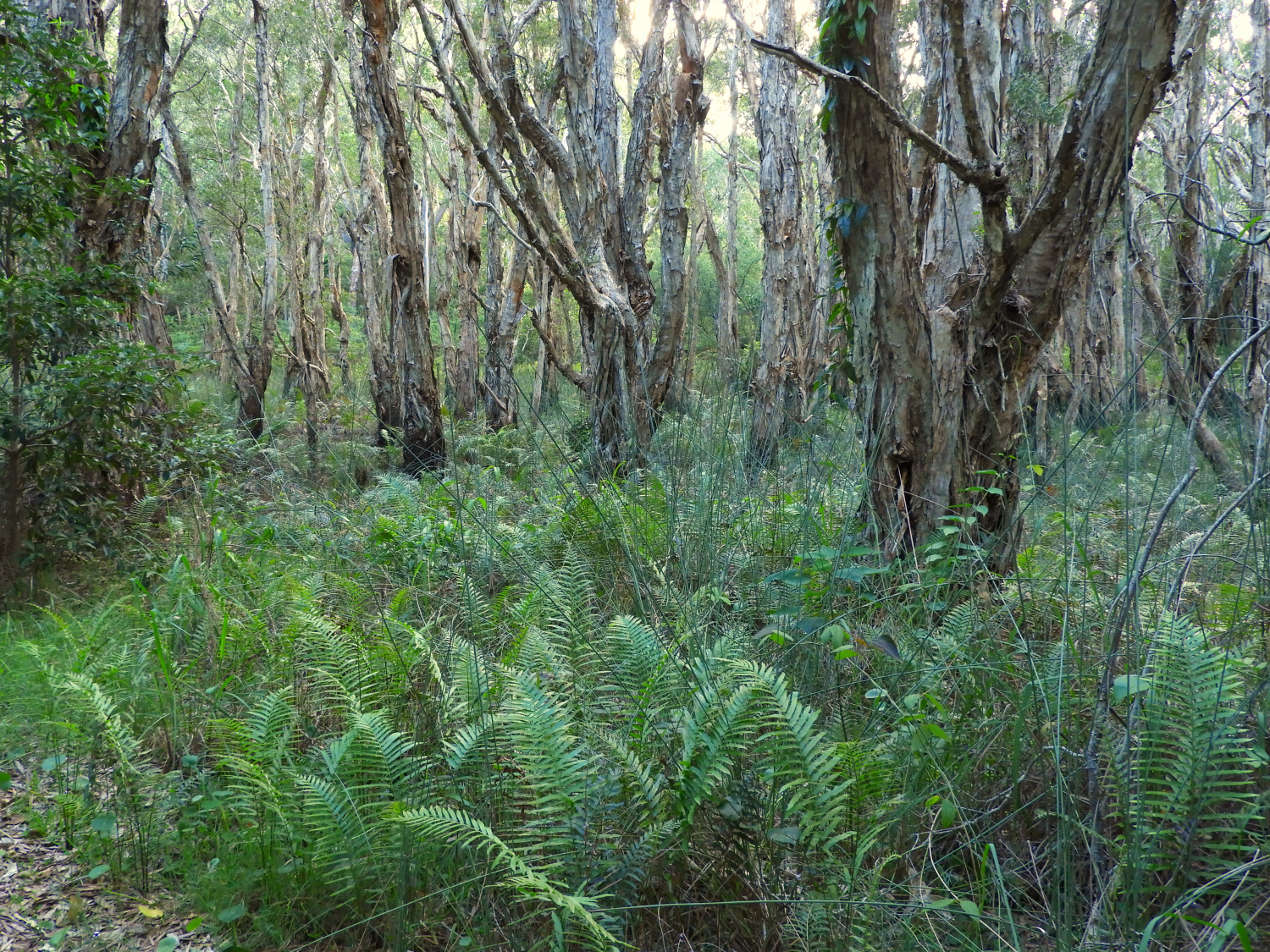
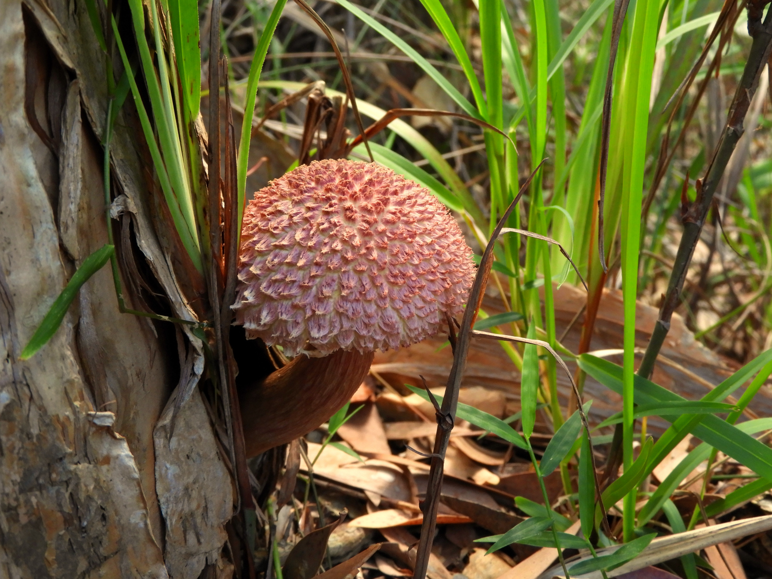
There is a trail only to the northernmost mountain. This mount, which is actually mt Tomaree, is the highest one and there is a nearly 360 degrees view both to the oceanic shore and to the estuary. The route goes through forests of different gum trees.


In aboriginal language "tomaree" means "high mountain"
Fingal island, the lighthouse and keepers' cottage

A nice view to Fingal spit

During and after the WWII there was a radar at the top of the mountain. It was the first one to be fully produced in AU and operated by a crew fully rained in AU.

View further to the north. The first of the islands is connected by a mound. But you should remember that the one to Fingal island was destroyed in one single night


The guns were here during the WWII. A fort was completed in 1942 in order to protect the entrance to the harbour, when Australia was in the war for two years already.

Shoal bay beach

path to the beach through dune vegetation

This road heads to an inner lighthouse


This is the lighthouse, and it has no tower. It was built in 1872 and gives 4 rays of light in different direction. The building in the right houses a modern observation station.

inside the old house


The modern watch room is open for public

the next township, Nelson bay, and a beach

fishermen

Lorikeet feeds on bottlebrush

Nelson bay township
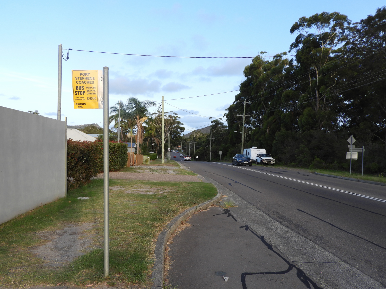
We walked for more than 20 km by the time of sunset, so we decided to take a bus to get back to the apartments. Shortly we found a bus stop on a road connecting the townships. However, it had no timetable and even no name of the stop. A plate contained only a phone number to make a call. Of course, I dialed this number, because we could had already missed our bus.
Apparently, it was a hotline of NSW transport, the local government authority responding for all the public transport in NSW. It was a bit of a pain to explain to them where do I stand. I had finally to say the names of the roads crossing just nearby. And they told me the actual timetable! Really liked it!
The last bus was in twenty minutes. Just enough time to buy an apple pie and some coffee at a cafe nearby!
One more surprised waited for us at home. The landlord made a huge tasty feta-spinat strudel for us! Hospitality of Australians definitely does not know any limits!

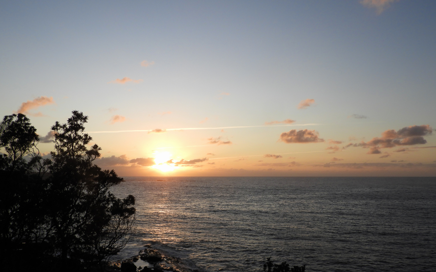
Moon and sunset

A possum
We woke really early next day to get to the island during low tide. One hour before the sunrise:


The sun appeared right at the moment we were crossing the strait


By the way, there are lots of spiders at the island. Coastline spiders are actually something special. They like to make webs just on trails, so they can catch more insects. Blowing wind makes them looking like sails, so beautiful!


This grass crawls like vines

and even cacti between rocks


When we came back from the island, I walked a bit to the south from the township. The trail turns to be sandy and extremely hot: bushes are too low to protect from sun.


Fingal bay is not only about sandy beaches. Rock pools with crystal clear water are just amazing there!


We were leaving at around noon - the perfect time for a lunch. I ordered something in fish&chips store (kind of a national Australian cuisine), but it was not ready at the moment when bus had arrived. I ran to the bus driver, asked him to wait for a second, then ran back to the cafe and asked them whether is something ready. They said, that nothing is ready yet, and they haven't even started to cook it ... and returned the full price for the order! So nice!
This is a sandy swamp in a local depression. Similar moors I observed in the Blue Mountains.

We made a short stop on the way back from Tomaree. I decided to be a clever boy this time and checked the bus timetable. We came to the bus stop two hours before the next bus. Nothing arrived. Ten minutes later... Still nothing. Tem minutes more... And still nothing! Ten more minutes... A door in a house just near the stop opened, and a lady came to us: "are you waiting for a bus? There won't be any! The late buses run directly to Newcastle, they do not turn to this village!".
We were very lucky. The lady told us the last bus is in 20 minutes, and it stops at the main road in kilometer from this village. We were right on time to get that one!
Do you remember I wrote in the very beginning about 120 but stops? Almost every bus runs a slightly different route, adding or skipping certain stops. It is such a mess to plan anything! One need really check a timetable from every single stop!


Комментариев нет:
Отправить комментарий